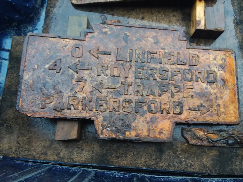
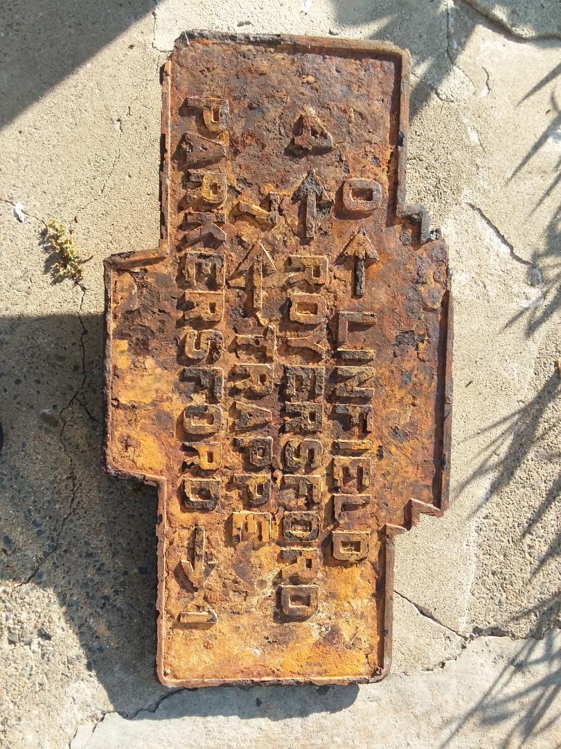
- COORDINATES: 40.204124, -75.485434 approximate Coordinates of former location
- MANUFACTURER: Undetermined
- COUNTY: Montgomery
- STATUS: Found in the river years ago. Now in the collection of the Limerick Township Historical Society. These directional markers were originally yellow with black lettering and trim. KMT has offered to help with restoration.

Nov. 2020 photo by M. Witte

March 2022 photo by M. Witte
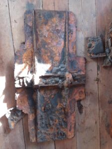
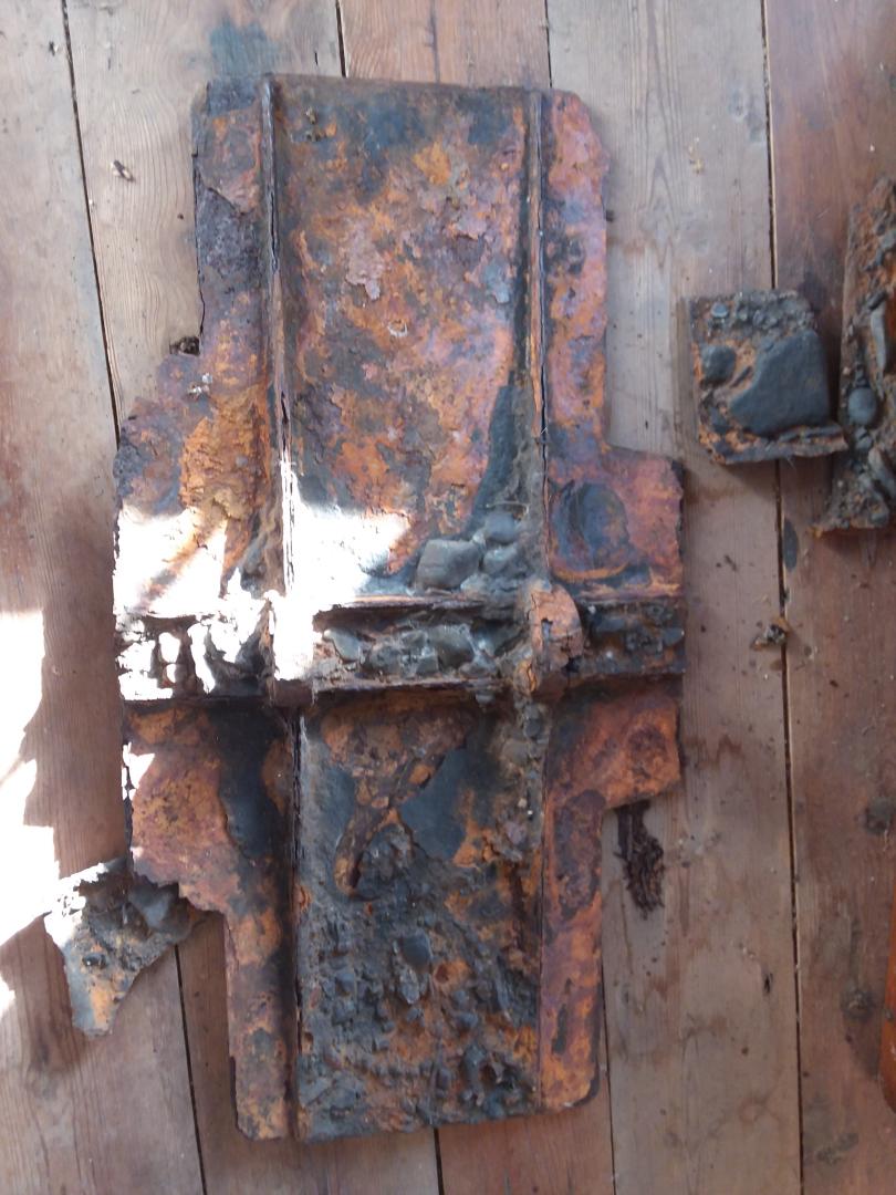
March 2022 photo by M. Witte shows reverse side.
These keystone shaped markers were used for many “traffic sign” uses prior to their use as town name signs.
Believed to have been at intersection of Linfield-Trappe Rd. and Limerick Center Road