
Vintage photo donated by S. Bodnar
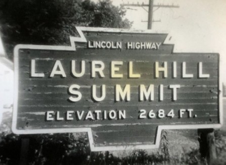
Photo from R.C. Heagey collection Circa 1950
Along Lincoln Highway (Now U.S. 30) east of Ligonier
Text on sign Lincoln Highway Laurel Hill Summit
Allegheny Mountains Elev. 2684
This may be the Westmoreland/Somerset County Border