- COORDINATES: 40.075047, -77.910721
- COUNTY: Fulton
- DISTANCE TO NEXT: McConnellsburg - 15
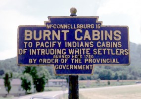
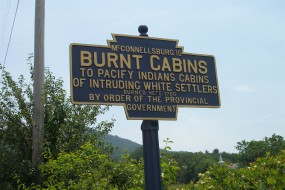
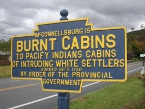
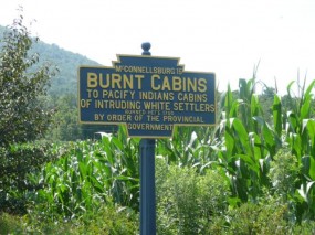
- EXPLANATION OF NAME: To Pacify Indians Cabins of Intruding White Settlers Burned Here 1750 By Order of the Provincial Government
- FOUNDED: Not Noted on marker
- MANUFACTURER: No maker name on the marker
- SHAPE: Standard 1-sided
- STATUS: Unusual amount of text likely precluded adding a "Founded" date. Still extant June 2017.

1975 Fred Yenerall photo

June 2015 photo by J. Graham

2009 Clair Clawser photo

2012 photo by G. Volgstadt
U.S. Route 522 south of village.