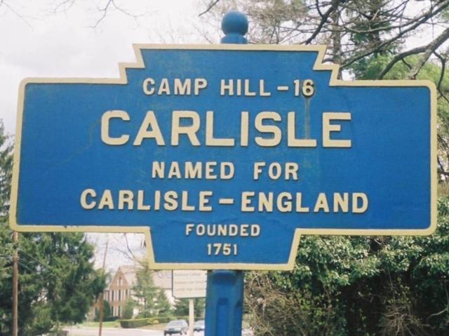
2008 photo by J. Graham
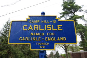
Oct. 2013 photo by J. Graham

Photo by J. Graham shows foundry mark on reverse.
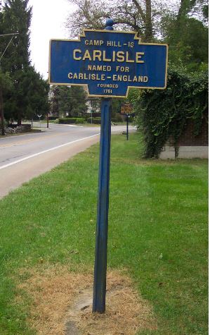
April 2015 photo by Mike Wintermantel
Sept 2020 photo by J. Graham
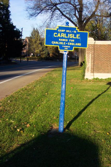
Walnut Bottom Road east of town at Thornwald Park
2008 photo by J. Graham
Oct. 2013 photo by J. Graham
Photo by J. Graham shows foundry mark on reverse.
April 2015 photo by Mike Wintermantel
Sept 2020 photo by J. Graham
Walnut Bottom Road east of town at Thornwald Park