Date/Taker Unknown

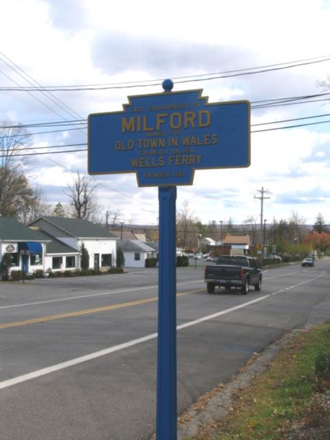
2012 Photo by Matt Hamel
Oct. 2019 photo by D. Graham
Oct 2019 photo by D. Graham
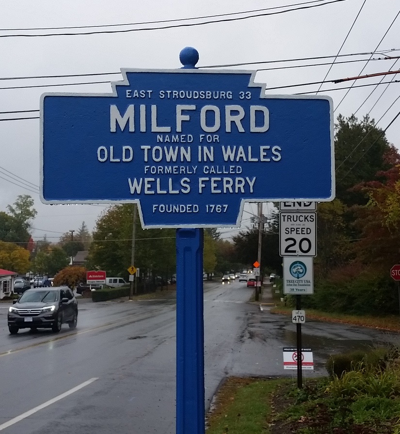
Oct. 2020 photo by C. Wood.
US 6 at West Harford Street
Date/Taker Unknown
2012 Photo by Matt Hamel
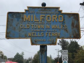
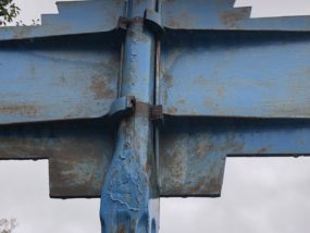
Oct. 2019 photo by D. Graham
Oct 2019 photo by D. Graham
Oct. 2020 photo by C. Wood.
US 6 at West Harford Street