May 2010 photo by Jim Carn

May 2010 photo by Jim Carn
May 2010 photo by Jim Carn
May 2010 photo by Jim Carn

May 2010 photo by Jim Carn
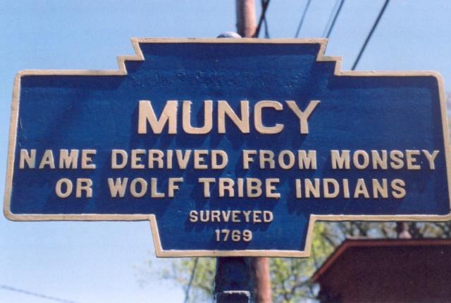
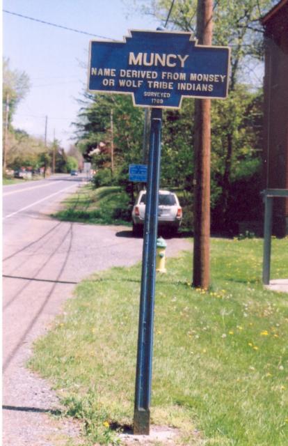
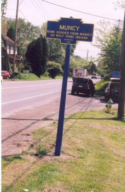
PA 405 at Angletown Road, west end of town
May 2010 photo by Jim Carn
May 2010 photo by Jim Carn
May 2010 photo by Jim Carn
May 2010 photo by Jim Carn
May 2010 photo by Jim Carn
PA 405 at Angletown Road, west end of town