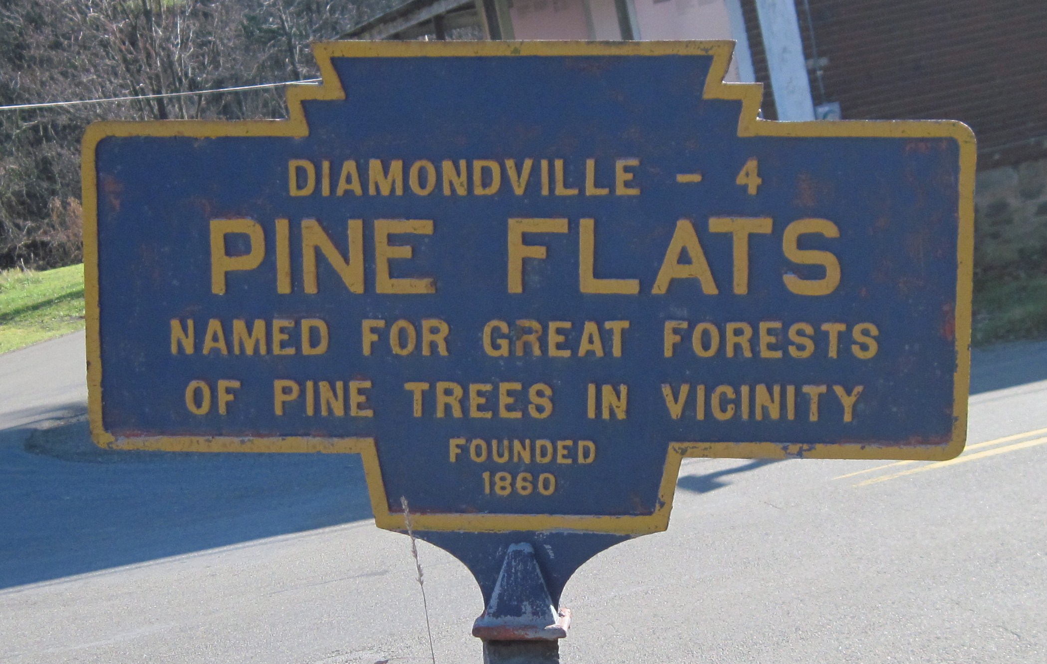
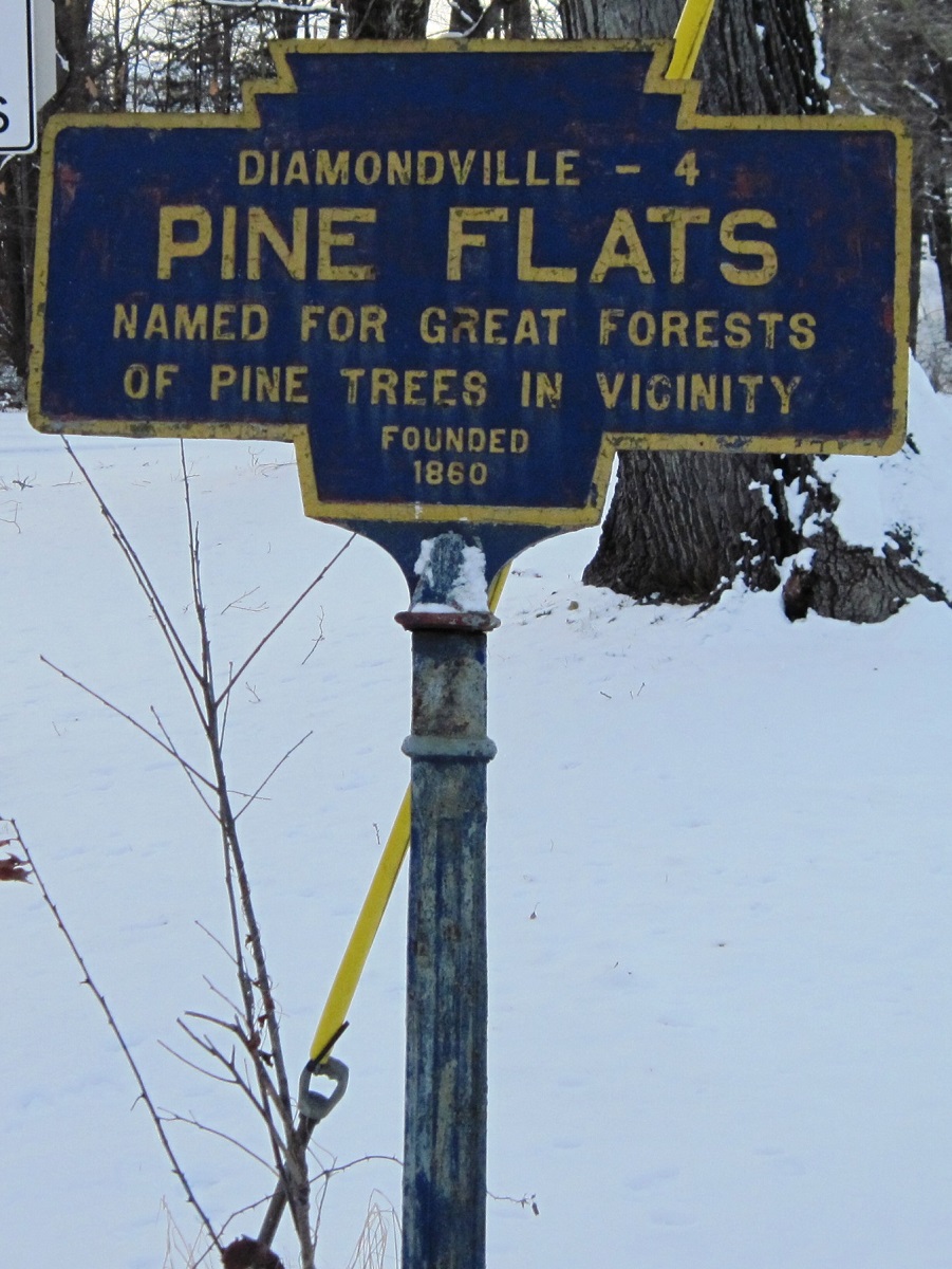
- COORDINATES: 40.659153, -78.921065
- COUNTY: Indiana
- DISTANCE TO NEXT: Diamondville - 4 Other side of this marker notes Heilwood as next town.
- EXPLANATION OF NAME: Named for Great Forest of Pine Trees in Vincinity
- FOUNDED: 1860
- MANUFACTURER: Manufacturers of these double-sided markers have not been determined.
- STATUS: Like many of the town markers in Indiana County, this one is a double-sided, top mount, rather than the more standard front mount. Many signs here have been relocated.
Painted Sept 2020 by property owners Randy and Sonya Schrenkel.
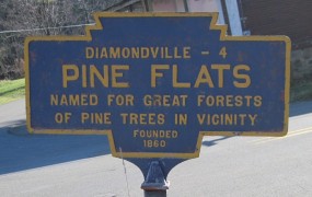
November 2010 photo by Ron Kuzemchak
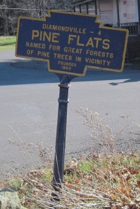
November 2010 photo by Ron Kuzemchak
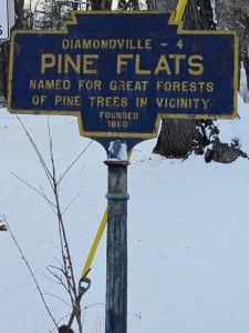
Jan. 2017 photo by Ron Kuzemchak
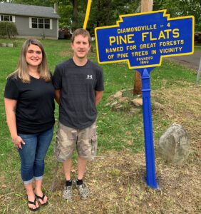
Sept 2020 photo by K. Schrenkel
Note: This is the other side of the double-sided marker that has “Heilwood” on the top line.
PA 580 and SR 1014