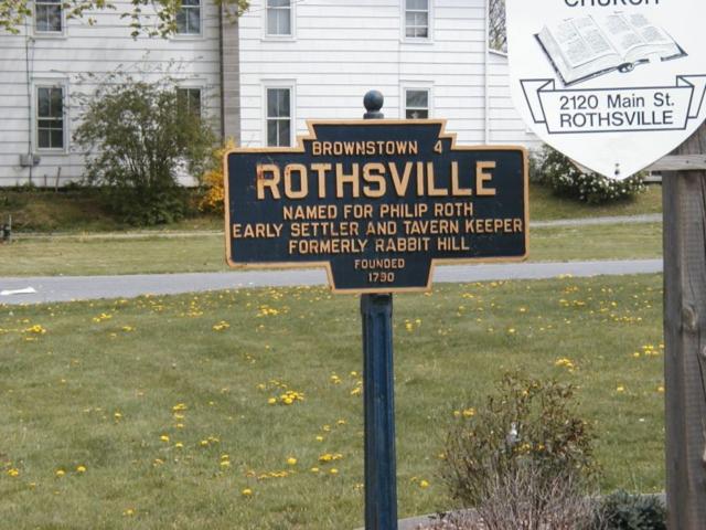
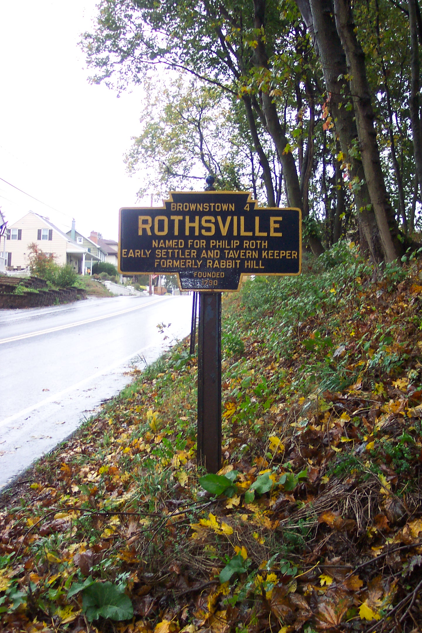
- COORDINATES: 40.152380, -76.256789
- COUNTY: Lancaster
- DISTANCE TO NEXT: Brownstown - 4
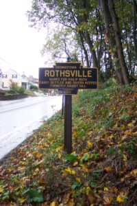
- EXPLANATION OF NAME: Named for Philip Roth, Early Settler and Tavern Keeper. Formerly Rabbit Hill
- FOUNDED: 1790
- MANUFACTURER: No maker name on the marker.
- SHAPE: Standard 1-sided
- STATUS: This one is original marker. Other one here is an aluminum replacement.
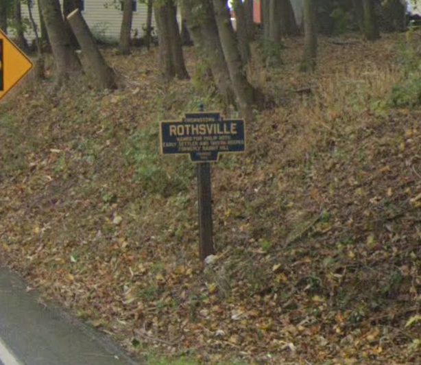
Missing as of 2018. On a very short fabricated iron post, not an original keystone marker post.

Photo by Kurt Heidel
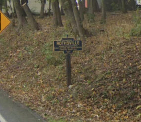
October 2019 Google Street View photo
Oct. 2020 photo by J. Graham
PA Route 772 (Newport Road) at west end of town