2010 photo by C. Busch

2010 photo by C. Busch

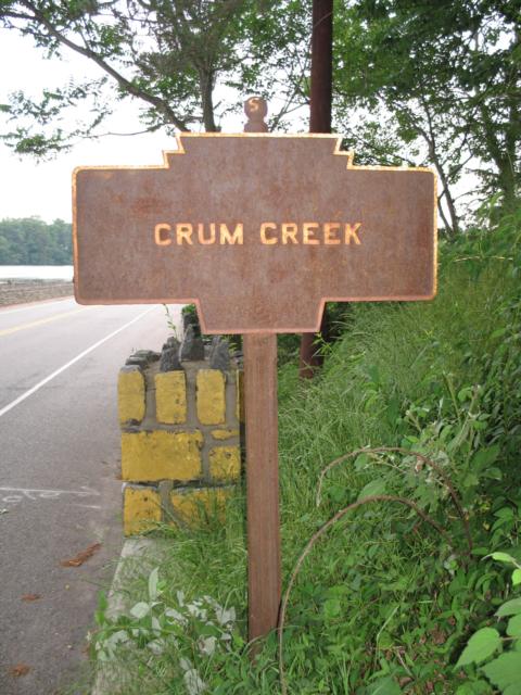
2010 photo by C. Busch
2012 photo by JGl
April 2022 photo by JGl
Palmers Mill Road (Rt 252) at Springton Reservoir
2010 photo by C. Busch
2010 photo by C. Busch
2010 photo by C. Busch
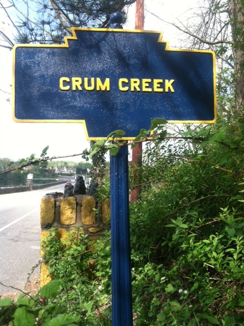
2012 photo by JGl
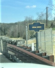
April 2022 photo by JGl
Palmers Mill Road (Rt 252) at Springton Reservoir