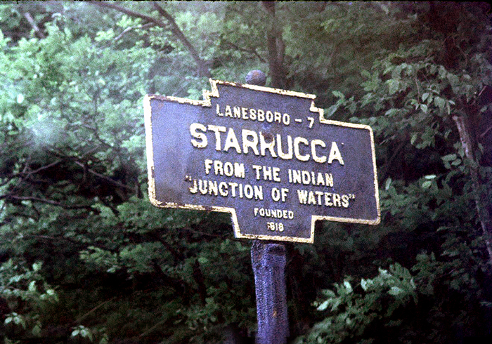
July 1975 photo by Fred Yenerall
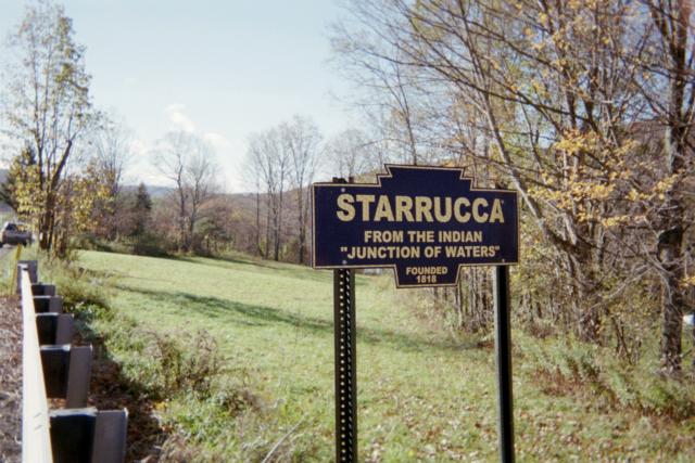
November 2010 photo by Dan Graham Starruca Creek Road

2021 view from older PennDotVideo Log
Top photo shows a now missing original marker. Other two pics are of replicas.
July 1975 photo by Fred Yenerall
November 2010 photo by Dan Graham Starruca Creek Road
2021 view from older PennDotVideo Log
Top photo shows a now missing original marker. Other two pics are of replicas.