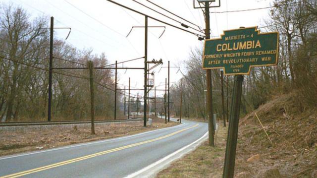
Undated photo by Denny Pine
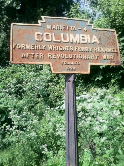
2011 photo by JGl

2011 photo by JGl shows broken top section of post

Dec. 2012 photo by JPG shows missing marker and broken off post top.
PA Route 441 near Blue Lane
Undated photo by Denny Pine
2011 photo by JGl
2011 photo by JGl shows broken top section of post
Dec. 2012 photo by JPG shows missing marker and broken off post top.
PA Route 441 near Blue Lane