- COORDINATES: 41.108835, -77.702077 - approximate coordinates of stone at east end of town
- COUNTY: Centre
- DISTANCE TO NEXT: Beech Creek - 7 (Both painted replicas here say Beech Creek as next town.)
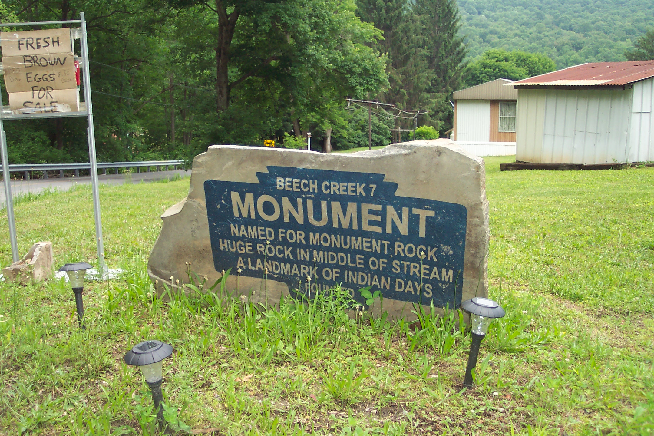
- EXPLANATION OF NAME: Text says: "Named For Monument Rock Huge Rock In Middle of Stream A Landmark of Indian Days" It is not known if this is the exact text on the original iron marker.
- FOUNDED: Date painted on rock but covered by grass
- MANUFACTURER: It is unknown who actually did the paintings. Maker of original iron markers also unknown.
- STATUS: Unique way of remembering now lost original iron markers. The same image is painted on a flat stone at each end of the town.
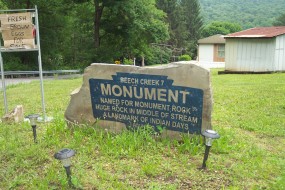
June 2015 photo by J. Graham
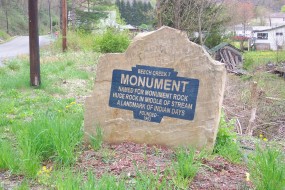
April 2017 photo by J. Graham
PA Route 364 (Monument-Orviston Road)
This is a painted replica of original marker on a large flat stone