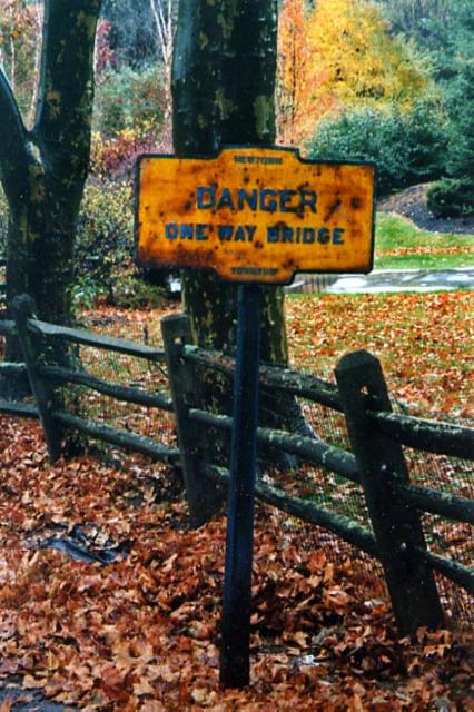
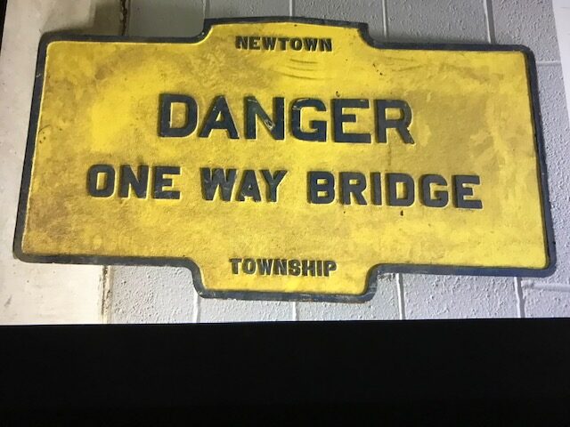
March 2021 photo by Newtown Square Historical Society
Valley Forge Road near Church Road, Wayne PA
This was a “variant” marker, rather than a “Keystone”, used as a traffic sign to warn of a DANGER.
Geocode by C. Busch, June 2011.
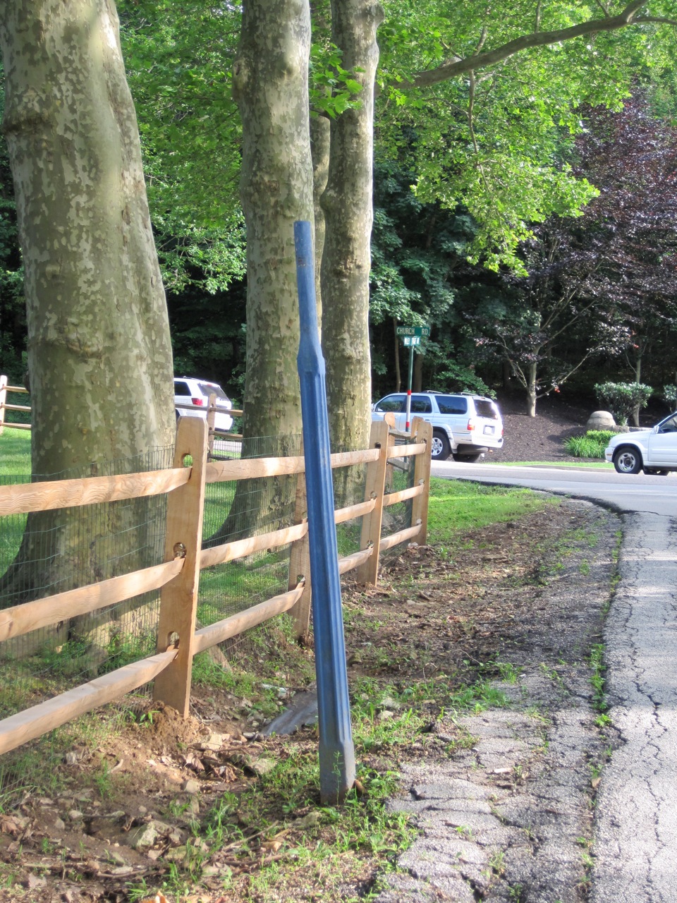
March 2021 photo by Newtown Square Historical Society
Valley Forge Road near Church Road, Wayne PA
This was a “variant” marker, rather than a “Keystone”, used as a traffic sign to warn of a DANGER.
Geocode by C. Busch, June 2011.