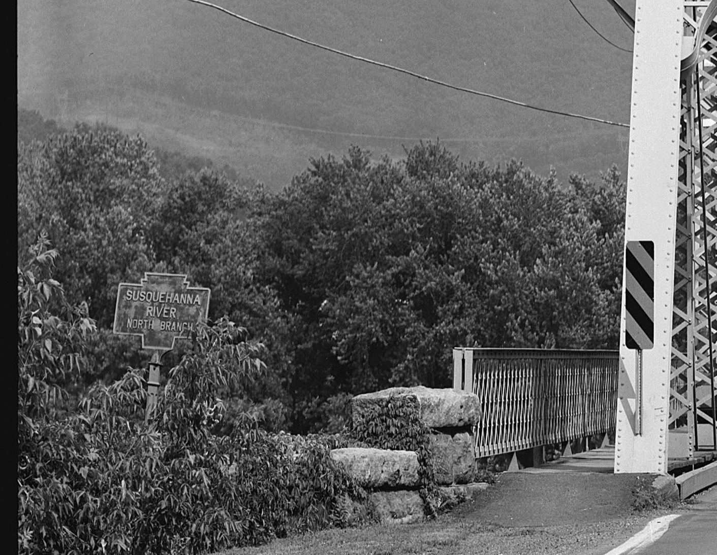
- COORDINATES: 40.954493, -76.469650 note approximate location of where this marker once stood.
- COUNTY: Columbia
- MANUFACTURER: Unknown. No maker of stream markers has been determined.
- Status: Unknown. Believed to be long gone. Known only from this old photo. Note the "new" flat aluminum stream marker now installed by PennDot on right side of the roadway.
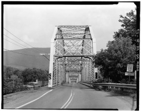
Circa 1980 photo courtesy of M. Hamel from Bloomsburg side looking towards Catawissa. Note marker on left side of road.

PA Archives photo of this marker. Date unknown.
PA Route 42 on North side of river at Catawissa
Photo shows a typical double-sided stream marker on a top mount post.