- COORDINATES: 40.488103, -80.183536
- COUNTY: Allegheny
- MANUFACTURER: Undetermined
- SHAPE: Standard 1-sided
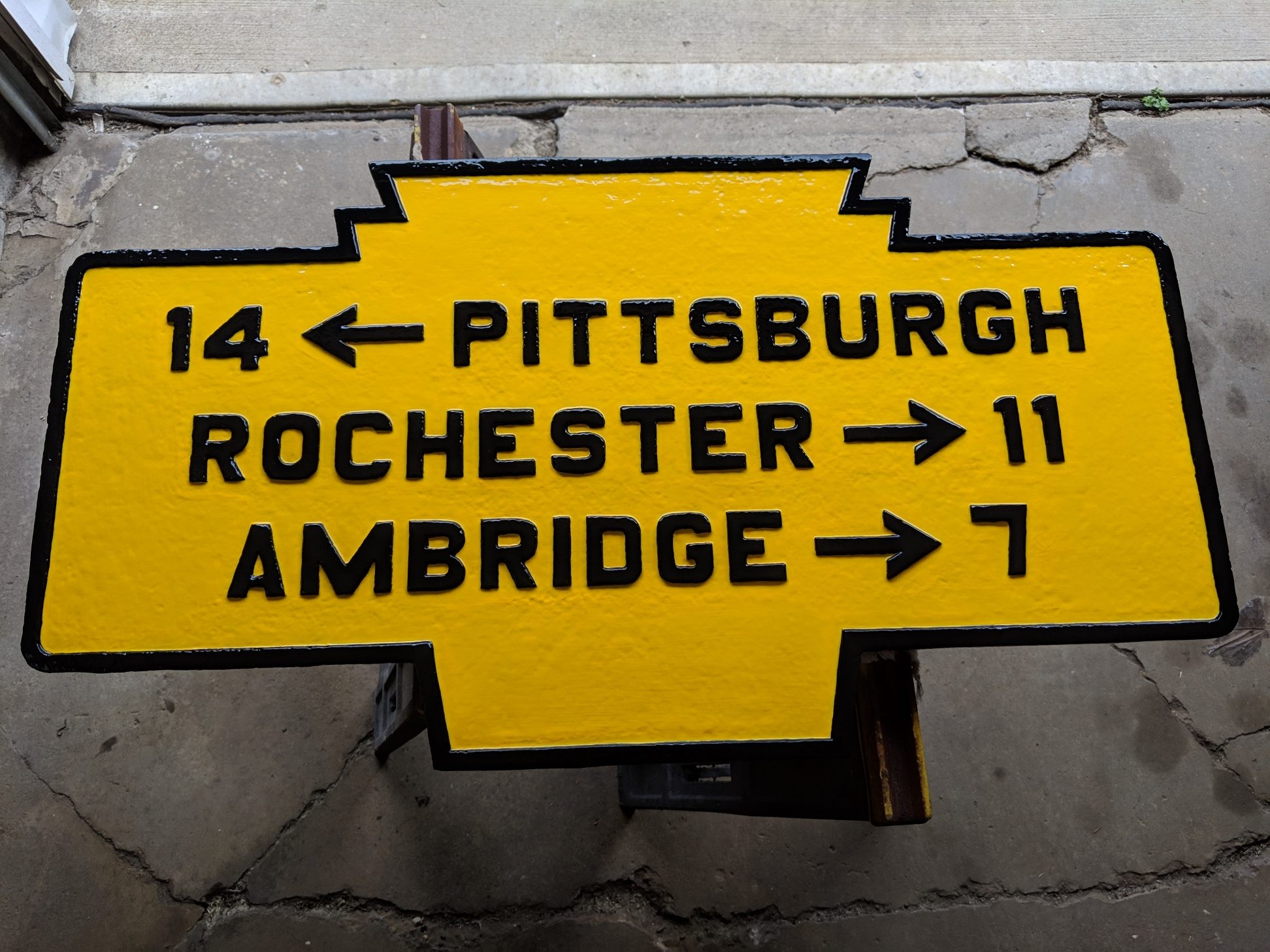
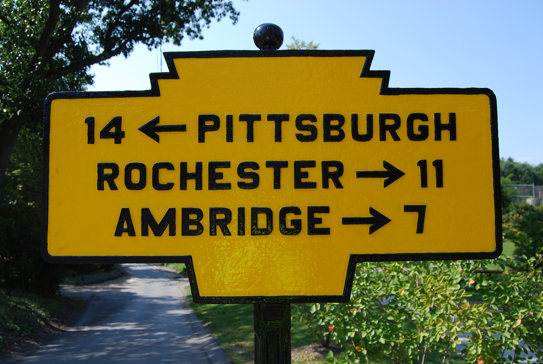
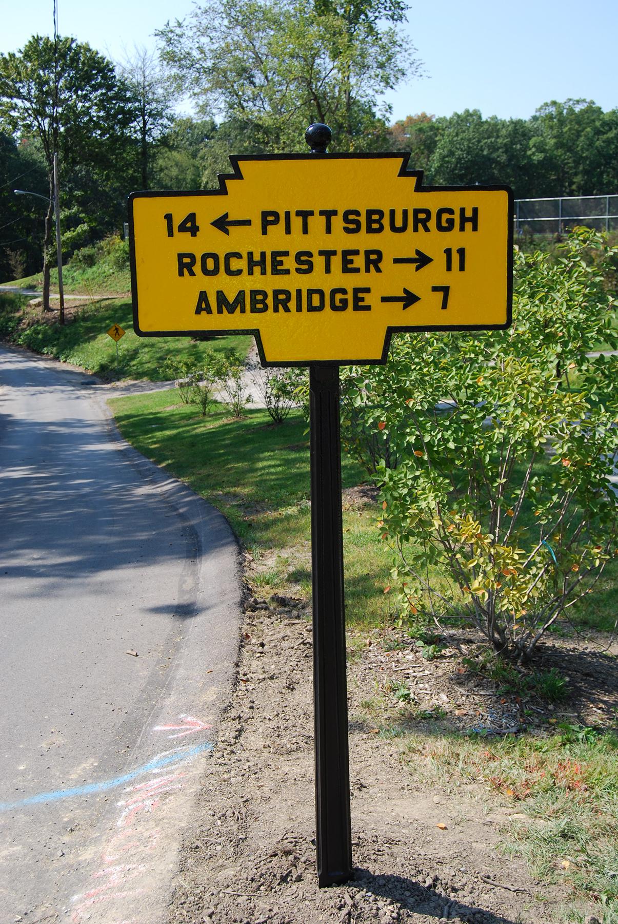
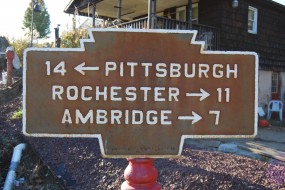
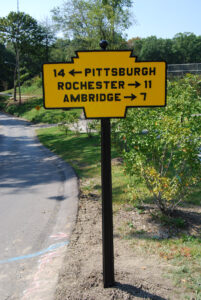
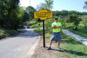
- STATUS: This type of directional marker was once common. At one time almost all “highway” signs were of this keystone shape in cast iron. This one notes distances to Pittsburgh, Rochester and Ambridge. It is presumed that this marker once stood at the west end of the Sewickley Bridge. The previous owner found the marker under a boiler as he was excavating an old barn for a new community park. As of December 2022 the marker has been restored to original colors by KMT and has been installed in a Moon Township park. A September 10, 1922 Philadelphia Inquirer news article, noted these directional markers were yellow with black text and border.
November 2014 photo by Mike Wintermantel

April 2019 photo by Mike Wintermantel

September 2022 photo by Mike Wintermantel
September 2022 photo by Mike Wintermantel
September 2022 photo by Mike Wintermantel
Marker was installed at Nelson Pond in Moon Park in Moon Township.