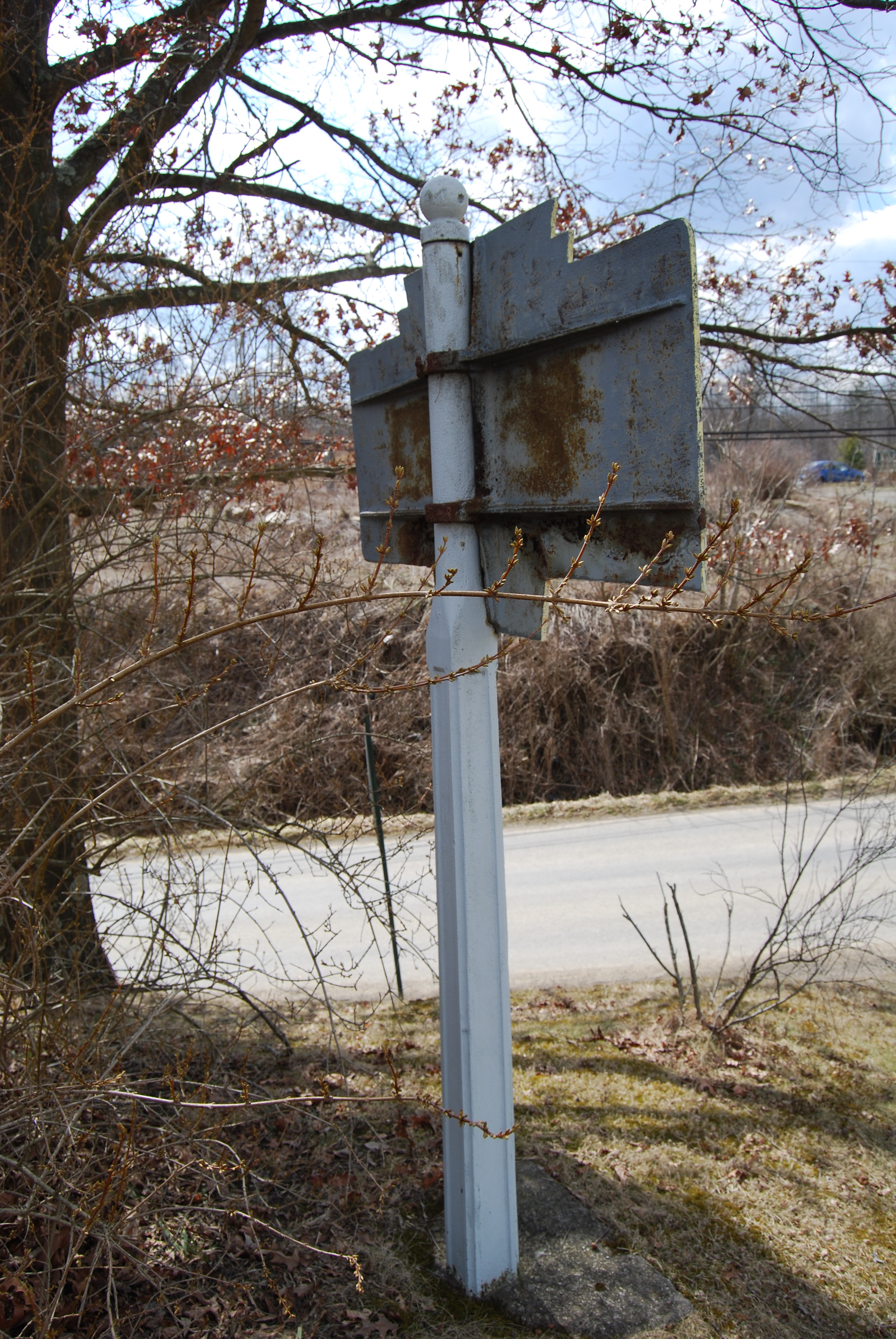
This is another of the very few examples of the “Traffic” type signs on cast iron Keystones that is known to survive. All highway traffic signs in the 1920s were of this type. This sign would originally have been painted with a yellow background and black text and border.
Full text is: DANGEROUS HILL / TRUCKS GO INTO SECOND GEAR

April 2013 photo by Mike Wintermantel

April 2013 photo by Mike Wintermantel
April 2013 photo by Mike Wintermantel
April 2013 photo by Mike Wintermantel
Terwilliger Road (not original location) This marker is on private property, please respect the property owners.