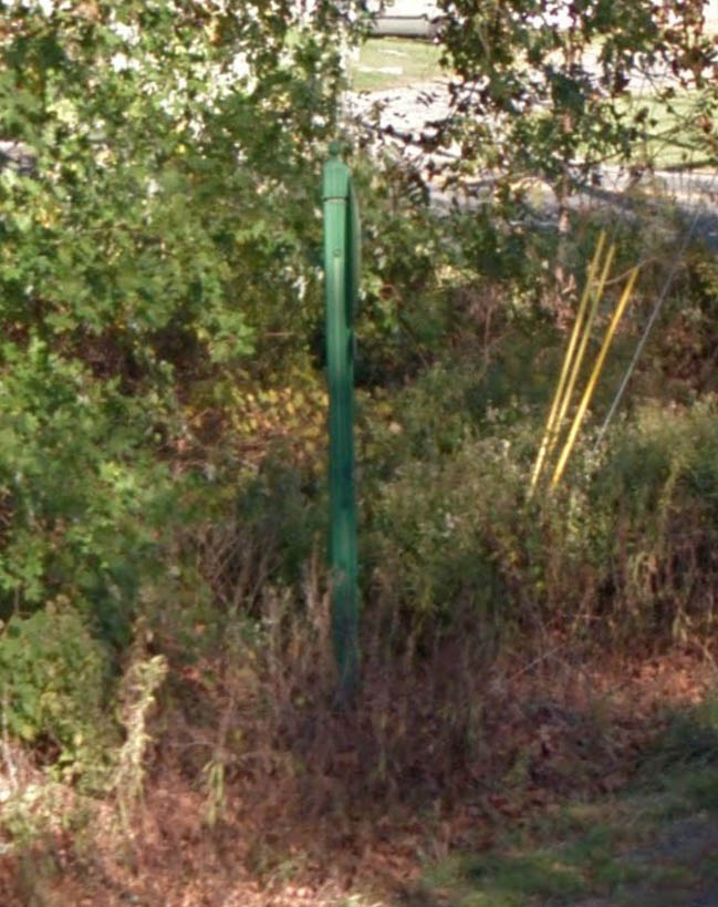
Only a post that once held a marker remains at this location along PA Route 378 near the community of Wydnor. It is along the Center Valley Parkway near the Oakhurst Drive and Colesville Road intersections in Lower Saucon Township.
Only a post that once held a marker remains at this location along PA Route 378 near the community of Wydnor. It is along the Center Valley Parkway near the Oakhurst Drive and Colesville Road intersections in Lower Saucon Township.