September 2013 Google Street View image
September 2013 Google Street View image
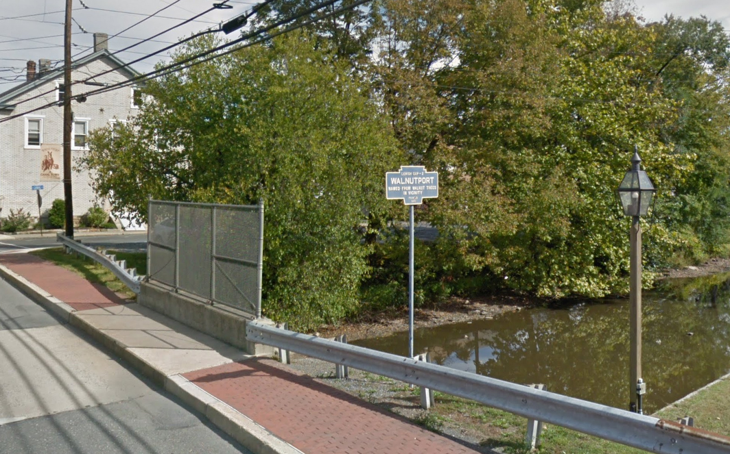
Main Street at Lehigh Street where Main crosses the old canal.
Original location was likely along PA Route 145 south of town
September 2013 Google Street View image
September 2013 Google Street View image
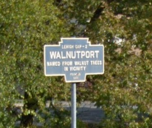
Main Street at Lehigh Street where Main crosses the old canal.
Original location was likely along PA Route 145 south of town