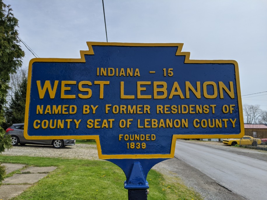
- COORDINATES: 40.602782,-79.353857
- COUNTY: Indiana
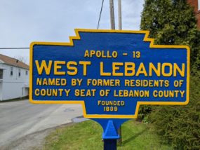
- DISTANCE TO NEXT: Apollo - 13 (Reverse side has "Indiana" as next town.)
- EXPLANATION OF NAME: Named by former residents of county seat of Lebanon County
- FOUNDED: 1839
- MANUFACTURER: No maker of these double-sided markers has been determined.
- SHAPE: Standard double-sided. Note that these double-sided "town" signs appear to be unique to Indiana County.
- STATUS: Was found in Dec. 2018 in a Bucks County, PA., antique shop. Restored by KMT and local resident. Installed Oct. 2019. See info for the other side of this double-sided marker.
Note misspelled "residenst" on Indiana side.
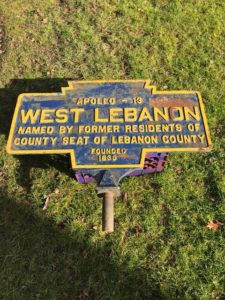
December 2018 photo by JGl
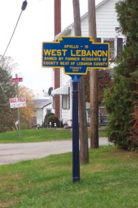
Oct. 2019 photo by T. Graham
April 2020 photo by Mike Wintermantel

April 2020 photo by Mike Wintermantel
Old PA Route 56 and Pounds Road