- COORDINATES: 40.485497, -75.069106 (Approximate original location)
- COUNTY: Bucks
- EXPLANATION OF NAME: TINICUM CREEK
- MANUFACTURER: Carlisle Foundry Co. Carlisle PA
- STATUS: Badly rusted. Appears to now be on private property although it is still very near the bridge over Tinicum Creek. Original location was likely nearby. Note this is a "single-sided" stream name marker, found in several SE Pennsylvania counties but atypical. Most stream markers across the Commonwealth are double-sided. It may well have been rescued from being scrapped when it was removed from the original location.
![](http://keystonemarkertrust.org/wp-content/uploads/TinicumCreekBucksCo1-285x205.jpg)
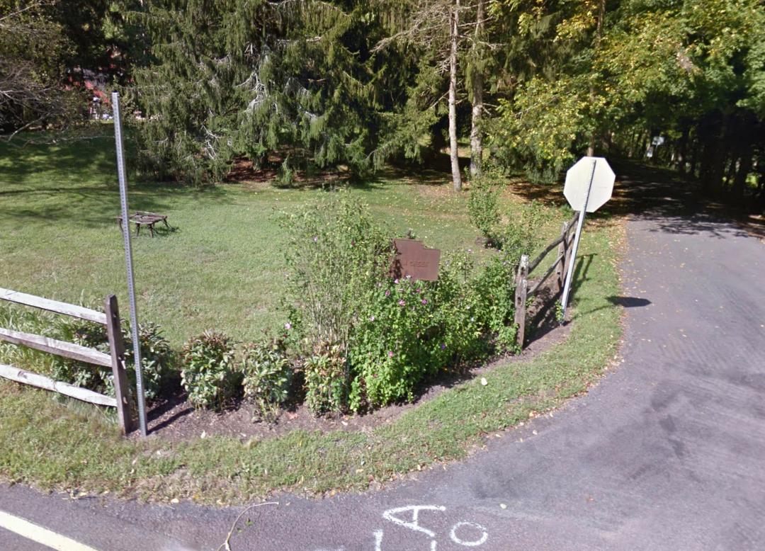
March 2020 view taken from Googlemaps
![](http://keystonemarkertrust.org/wp-content/uploads/waterway-tinicum_creek3-0223lsorensen-285x214.jpg)
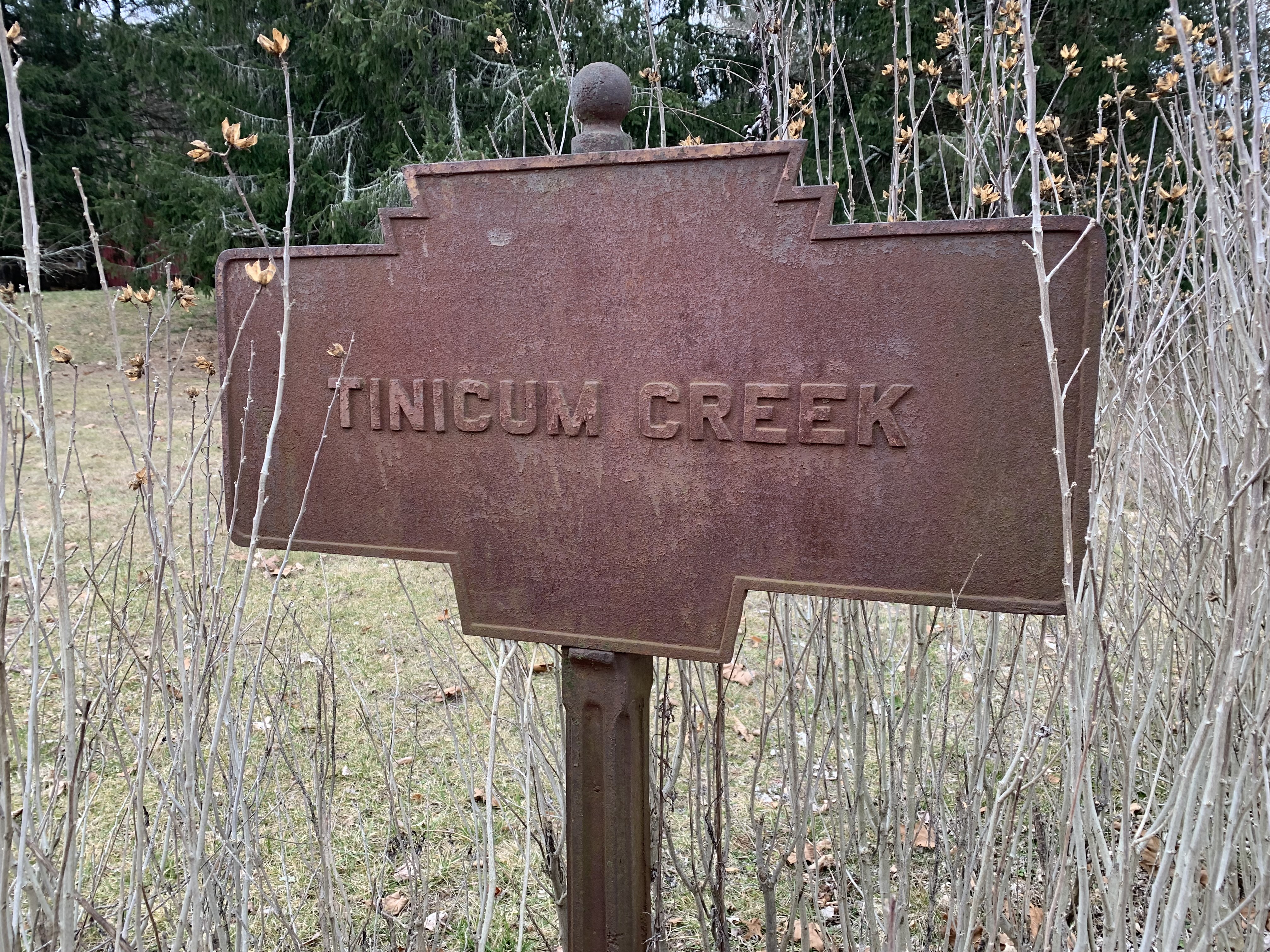
Feb. 2023 photo by L. Sorensen
![](http://keystonemarkertrust.org/wp-content/uploads/CarlisleMarkTinicumCrk-1-285x228.jpg)
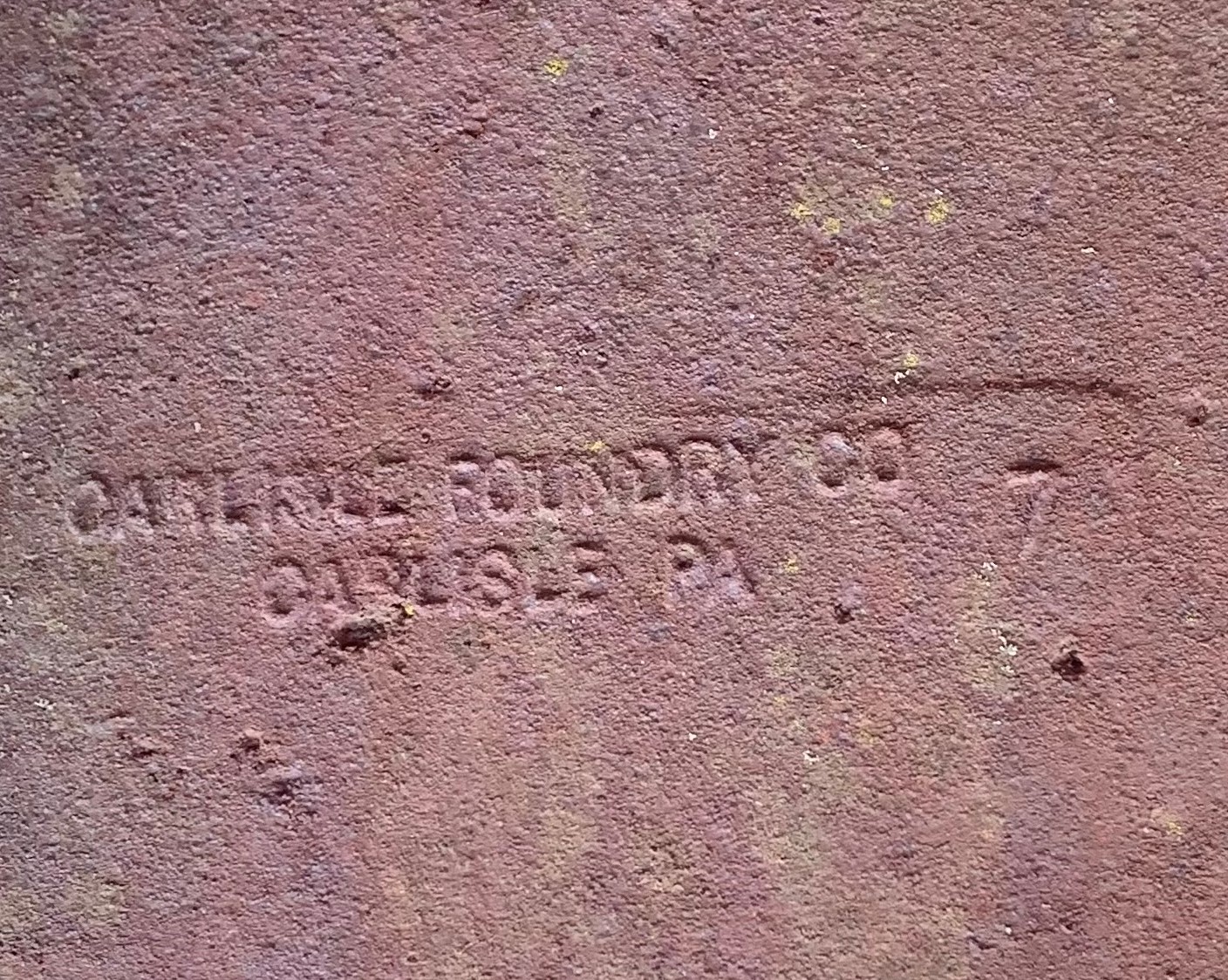
Maker’s mark on single-sided stream marker.
![](http://keystonemarkertrust.org/wp-content/uploads/TinicumLocation1-1-225x300.jpg)
Probable original location. Photo by L. Sorensen
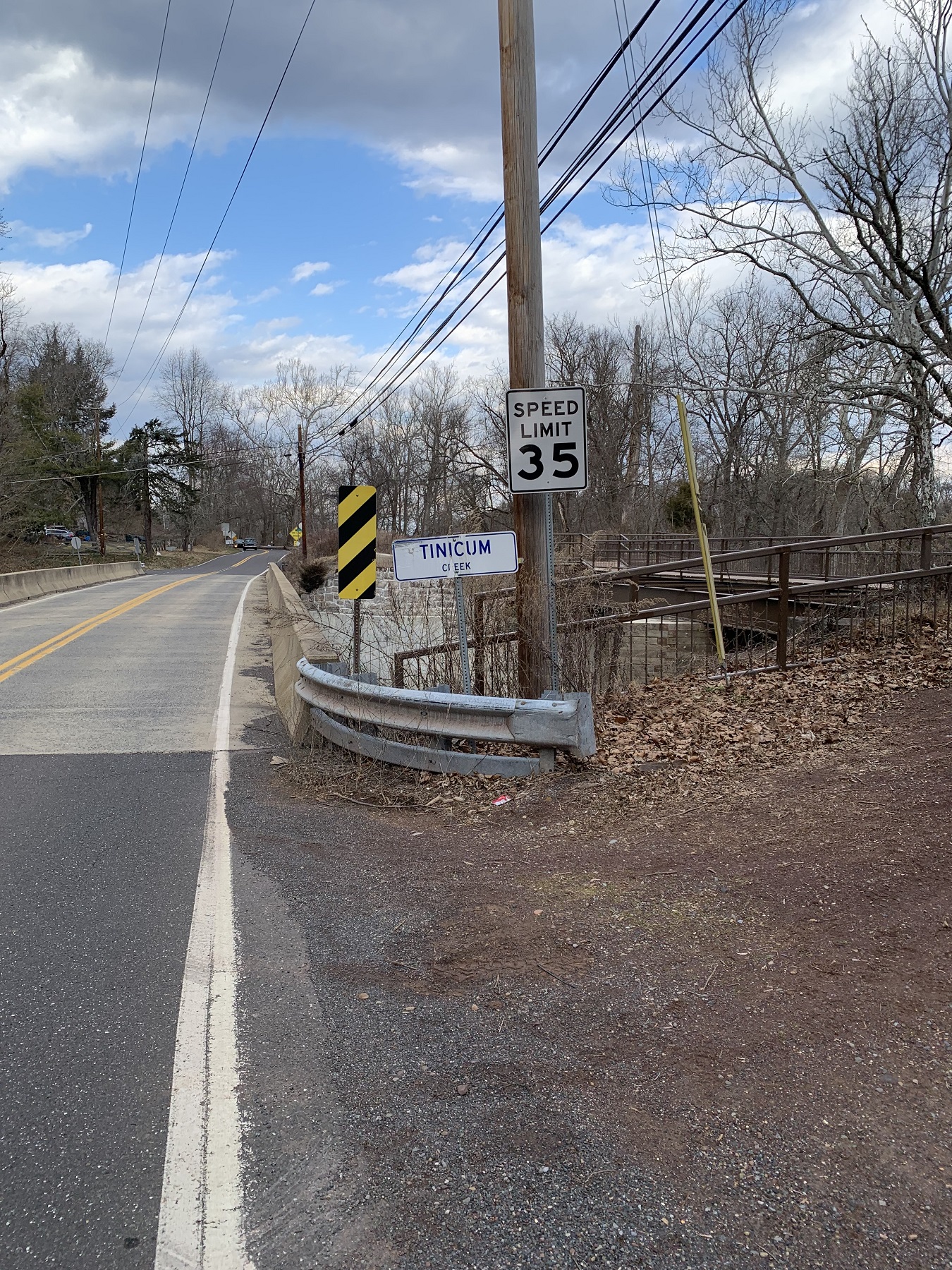
River Road (PA Rt. 32) North of Lumberville